Best America-Centered World Map for Your Space
Discover top maps that blend detailed world geography with a focused U.S. view. This guide reviews four America-centered world map sets, highlighting sizes, materials, and usability for classrooms, homes, and offices. Each option supports dry-erase or laminated durability for ongoing learning and quick reference.
| Product | Brand | Size | Key Feature |
|---|---|---|---|
| 24×36 World and USA Classic Premier 3D Two Wall Map Set (Laminated) | Swiftmaps | 24 x 36 inches | 3D terrain relief; dry-erase laminated; two maps |
| RMC Classic United States USA and World Wall Map Set (Signature Edition) | Swiftmaps | 32 x 50 inches per map | World + USA, rolled maps; large-scale view |
| Laminated World Map & US Map Poster Set – 18″ x 29″ | Palace Learning | 18 x 29 inches | Laminated; USA and World pair; Made in the USA |
| US and World Desk Map (13″ x 18″ Laminated) | Lighthouse Geographics | 13 x 18 inches | Two-sided; classroom-friendly; detailed states and world map |
24×36 World and USA Classic Premier 3D Two Wall Map Set

The Swiftmaps 24×36 World and USA Classic Premier 3D Two Wall Map Set combines a global perspective with a focused United States view. Laminated for dry-erase use, each map is printed on sturdy 100 lb paper and features 3D terrain relief to highlight elevation and geographic features. The two-map package provides a comprehensive, durable solution for classrooms or study rooms, allowing quick comparison between global and national geography.
RMC Classic United States USA and World Wall Map Set (Signature Edition)
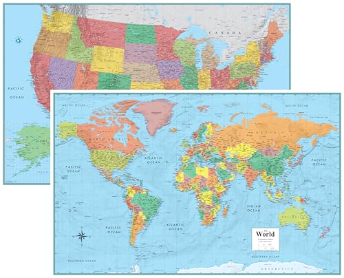
The RMC Classic Signature Edition offers two rolled wall maps: one World and one USA. With a generous 32×50 inches per map, the large-scale viewing area supports detailed geographic study and classroom presentations. Printed on 80 lb poster paper, these maps are designed for long-term display without folding, making them a staple for academic settings that emphasize both global and national context.
Laminated World Map & US Map Poster Set – 18″ x 29″
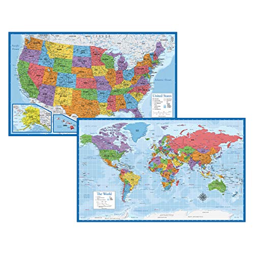
The Palace Learning set presents an 18″ x 29″ laminated duo, offering a compact option without sacrificing clarity. The durable lamination supports frequent use in home or classroom environments, with clearly labeled continents, countries, and major cities. This option is well-suited for smaller spaces or deskside study areas needing a quick geographic reference.
US and World Desk Map (13″ x 18″ Laminated)
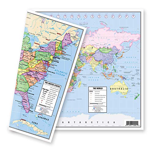
The Lighthouse Geographics desk map is a two-sided laminated chart designed for students and casual learners. One side showcases a pastel United States map with all fifty states, capitals, time zones, and inserts for Alaska and Hawaii. The alternate world map side provides a clear, current view of global geography, with a zoomed-in Europe insert for detailed study of the region. Ideal for compact desks, classrooms, and home study corners.
Buying Guide
Key considerations help choose the best America-centered world map for your space and needs. Material and durability matter for frequent use, while size and layout influence readability from different distances.
- Size and visibility: Larger maps offer more detail but require more wall space. Consider where you will view the map from and how many users will engage with it simultaneously.
- Laminate and dry-erase compatibility: Laminated maps support erasable markers, making them ideal for classrooms and study rooms where information changes or notes are common.
- Projection and accuracy: Ensure the map uses a clear projection that minimizes distortion for your primary use—global navigation, geography lessons, or cartography practice.
- Detail level: World maps with country borders, major cities, and physical relief help learners connect locations with real-world contexts.
- Two-sided or paired sets: Two-map sets (world + US) can save space and provide quick cross-reference between global and national geography.
- Durability and mounting: Look for posters or wall maps printed on sturdy poster stock, with rollable options for portability or framing compatibility.
- Placement and space constraints: In smaller rooms, compact options (18×29 or 13×18) are practical but still informative, while larger spaces benefit from 32×50 inch formats.
- Educational alignment: For classrooms, consider maps that include time zones, capitals, and state delineations to align with curriculum requirements.